
ServicesSite documentation
Site documentation
Drawings of what is in the field today. P&ID walkdowns and updates, site maps, and laser scans turned into as-built drawings.
TBPELS F-22694
What ARPE does
From the field to a drawing you can use
P&ID walkdowns and updates
Your P&IDs walked in the field, marked up and updated, with the relief system design basis documented. If the basis is missing or no longer works, ARPE can build a new one.
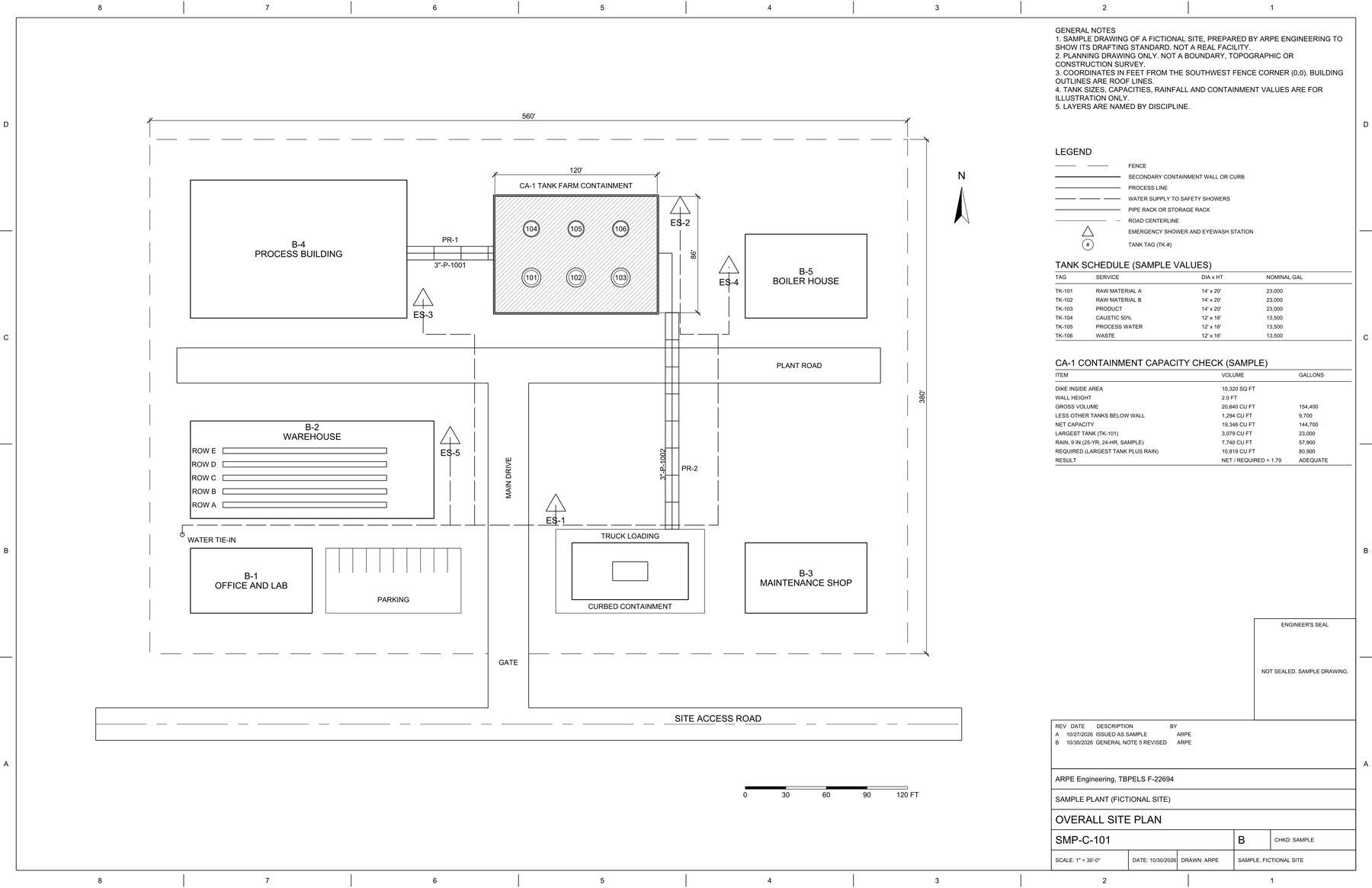
Site maps from aerial imagery and a site walk
Planning drawings, not surveys. Approximate dimensions from aerial imagery and a field walk. Property lines are not shown. Field verify before design or construction.
Laser scans turned into as-built drawings
Existing piping and equipment laser scanned and drawn as it stands today.
As-built drawings
PFDs, plot plans and P&IDs redrawn to match what is in the field.
Piping isometrics
Piping isometrics with CML locations are available for inspection programs.
Who it is for
Common reasons to call
Missing or old drawings
Sites whose drawings are missing or out of date.
Tie-ins and routing
Projects that need tie-in and routing information.
Geometry and engineering
ARPE can use the as-built geometry in its piping and duct stress analysis.
Piping and duct stress analysis and fitness for service evaluations are ARPE services.